A tale of two rivers
The Masai Mara National Reserve has two major rivers flowing through it. The largest and most well-known river is the Mara River. It flows straight through the Masai Mara and into the Serengeti. The Mara River basin covers a surface of approximately 13,504 square kilometres and has a length of 395 kilometres. Approximately 65% of the river flows through Kenya and 35% of the river flows in Tanzania. The source of the river lies in the Napuiyapi Swamp at the Mau Escarpment in the Kenyan Highlands. The main perennial tributaries are the Amala and the Nyangores. These two rivers meet and form the Mara River. The Mara River flows for approximately 395 kilometers until it finally drains into Lake Victoria. The second river flowing through the Masai Mara is actually a tributary of the Mara River, the Talek River. Additionally, the Mara is fed by the Engaro, Sand and Engito tributaries.
Rivers as borders
The two rivers divide the National Reserve into three different sectors. Right in between the Talek and the Mara River lies the Musiara Sector. The Mara Triangle lies in between the Oloololo Escarpment and the Mara River. Finally, the Sekenani Sector lies to the southeast of the Talek and Mara Rivers. Since there are very few locations where you can cross these rivers, most safari lodges will only offer game drives in their own sector.
Mara-Serengeti ecosystem
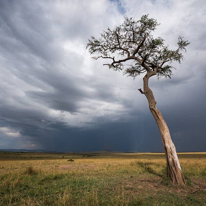
The Masai Mara National Reserve proper covers approximately 1,510 square kilometres. The National Reserve is part of the much larger Mara-Serengeti ecosystem, which includes the Serengeti National Park in Tanzania. The Serengeti is the Masai Mara's southern neighbour. The towering Oloololo Escarpment lies at the western border, sprawling wide-open grassy savannah lies to the north and the east of the reserve. The area is also known for its rolling hills and seasonal riverlets. The Masai Mara lies at an altitude range of 1,480 – 2,280 metres. Kenya’s highest point is the top of Mount Kenya (Africa’s second tallest mountain), which lies at an altitude of 5,199 metres. Read more about Masai Mara landscape & vegetation.
Masai Mara soil
The Great Lake Victoria basin in which the Masai Mara lies is made up of ancient igneous and metamorphic rock that dates back to the Cambrian and and Pre-Cambrian age. In other words, the ground beneath the Mara is more than 600 million years old. The surface of this ancient land was heavily eroded and then covered by younger rocks and lava from when volcanoes were active in the Great Rift Valley. In addition to the lava, the ground is covered by sedimentary deposits of sand, gravel and other lacustrine sediments.
Further reading